Aerial photography flights
Leave a request
and we will contact you shortly
and we will contact you shortly
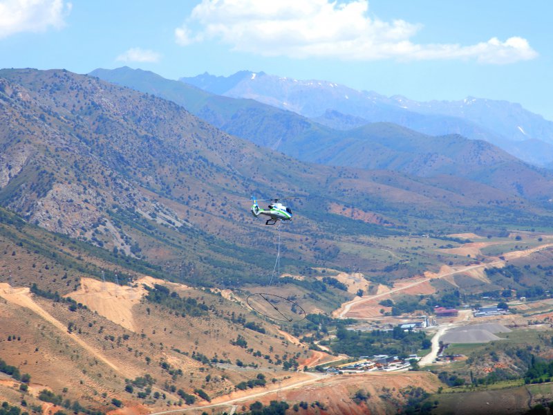
Aerial photography - photographing the territory from a certain height from the Earth's surface using an aerial camera mounted on a helicopter, in order to obtain, study and present objective spatial data in the areas of the survey.
The data obtained during aerial photography is especially applicable in cartography, in determining the boundaries of territories, land management, archeology, environmental studies, the production of films and commercials, etc.


